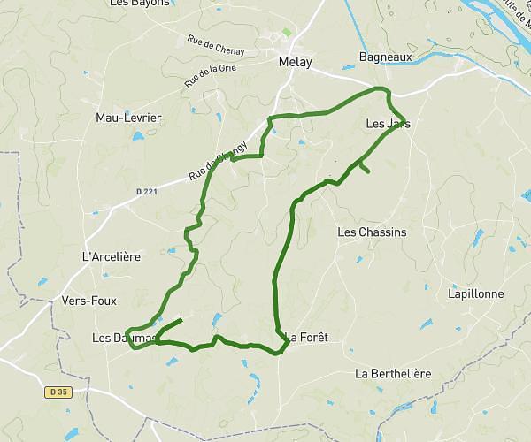
This walking route covers 5.388mi starting from Saint-Alban-les-Eaux, Loire. The walk is a loop trail and returns to the trailhead. This walk is rated as hard, plan for about 1h56m to complete it. The route has an elevation gain of 833ft and an elevation loss of 830ft.
Marche de saint alban 8,7 Km
Route details
21:33/mi
Pace
474 kcal
Calories burned
Loop trail
Route type
1362ft
Min altitude
1900ft
Max altitude
Route profile
833ft
Elevation gain
830ft
Elevation loss
1362ft
Min altitude
1900ft
Max altitude
How to get there
Trailhead: 140 Rue Étienne Thinon, 42370 Saint-Alban-les-Eaux, France
GPS coordinates of the trailhead: 46.0099, 3.93609 / 46°0'35'' N, 3°56'9'' E