MapPlanner
11.552mi
Distance
18h35m
Duration
Pace
Strenuous
Level

Melay 2

Route details

Pace
4555 kcal
Calories burned
Point to point
Route type
863ft
Min altitude
1122ft
Max altitude

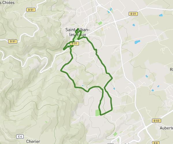
This walking route covers 11.552mi starting from Melay, Saône-et-Loire. The walk does not return to the trailhead and ends near . This walk is rated as strenuous, plan for about 18h35m to complete it. The route has an elevation gain of 873ft and an elevation loss of 1001ft.

Route profile

873ft
Elevation gain
1001ft
Elevation loss
863ft
Min altitude
1122ft
Max altitude

How to get there

Trailhead: D 335, 71340 Melay

GPS coordinates of the trailhead: 46.18387, 3.99864 / 46°11'1'' N, 3°59'55'' E

Caution: May Cross Private Property

This route may pass through or near private property. Always respect posted signs, obtain permission where required, and follow local trespassing laws. MapPlanner does not guarantee public access along any route.

Safety Notice

Trail and road conditions may change without notice due to weather, construction, or other factors. Always verify current conditions before heading out. You are responsible for your own safety — follow local signage, obey traffic laws, and use your best judgment on the trail.