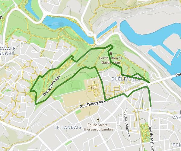
This running route covers 7.801mi starting from Saint-Renan, Finistère. The run is a loop trail and returns to the trailhead. This run is rated as hard, expect about 1h24m to complete it. The route has an elevation gain of 177ft and an elevation loss of 217ft.
12km
Route details
5.57mph
Speed
960 kcal
Calories burned
Loop trail
Route type
39ft
Min altitude
256ft
Max altitude
Route profile
177ft
Elevation gain
217ft
Elevation loss
39ft
Min altitude
256ft
Max altitude
How to get there
Trailhead: 3 Rue De Lorraine, 29290 Saint-Renan, France
GPS coordinates of the trailhead: 48.43412, -4.63267 / 48°26'2'' N, 4°37'57'' W