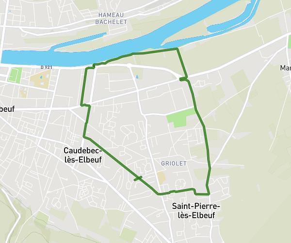
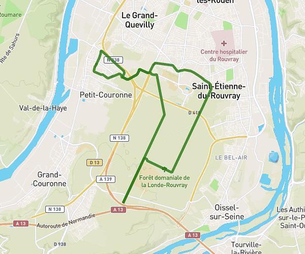
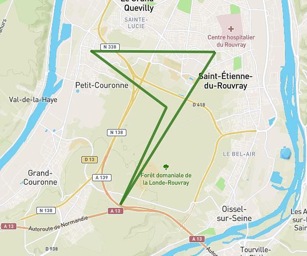
This running route covers 10.489mi starting from Maromme, Seine-Maritime. The run does not return to the trailhead and ends near 13 Clos Des Demoiselles, 76360 Bouville, France. This run is rated as hard, expect about 1h33m to complete it. The route has an elevation gain of 912ft and an elevation loss of 968ft.
Moun courses
Route details
6.76mph
Speed
1064 kcal
Calories burned
Point to point
Route type
85ft
Min altitude
440ft
Max altitude
Route profile
912ft
Elevation gain
968ft
Elevation loss
85ft
Min altitude
440ft
Max altitude
How to get there
Trailhead: 26 Rue Frédéric Bérat, 76150 Maromme, France
GPS coordinates of the trailhead: 49.47965, 1.016265 / 49°28'46'' N, 1°0'58'' E