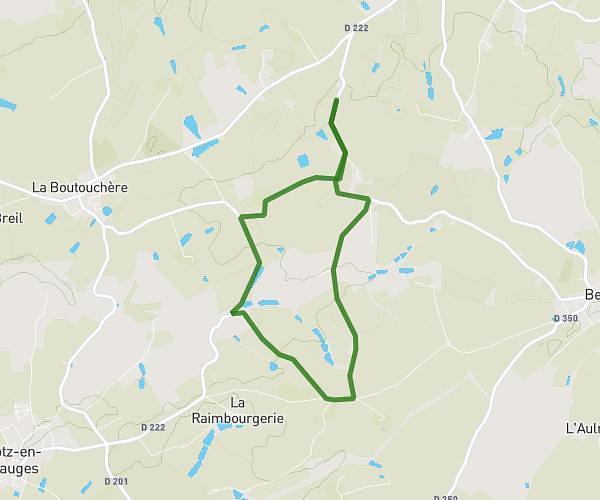
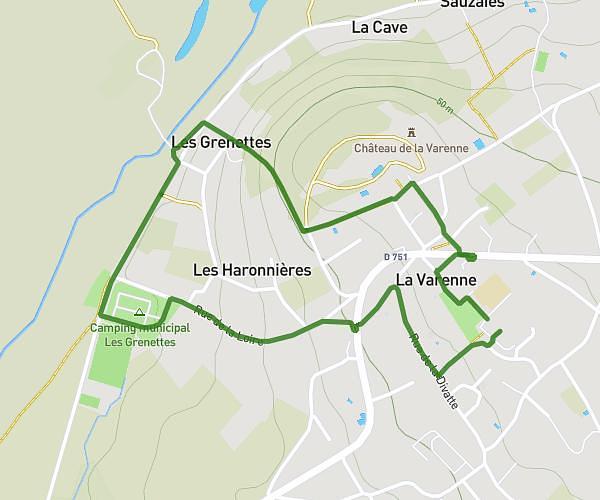
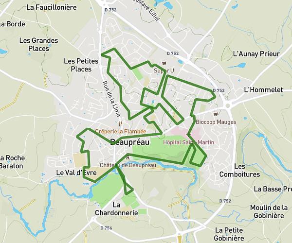
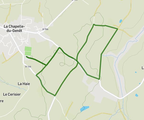
This hiking trail covers 14.387mi starting from Mauges-sur-Loire, Maine-et-Loire. The hike does not return to the trailhead and ends near Rue Saint-Denis, 49440 Candé. This hike is rated as easy, plan for about 4h57m to complete it. The route has an elevation gain of 167ft and an elevation loss of 69ft.
st Florent / Belligné
Route details
2.91mph
Speed
2087 kcal
Calories burned
0.3%
Avg grade
Point to point
Route type
36ft
Min altitude
203ft
Max altitude
Route profile
167ft
Elevation gain
69ft
Elevation loss
36ft
Min altitude
203ft
Max altitude
How to get there
Trailhead: Promenade Julien Gracq, 49410 Mauges-sur-Loire
GPS coordinates of the trailhead: 47.36422, -1.01458 / 47°21'51'' N, 1°0'52'' W