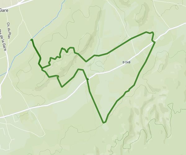
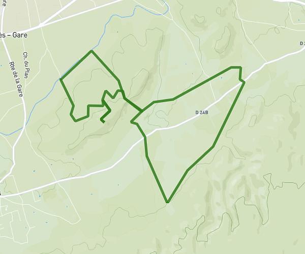
This running route covers 3.649mi starting from Châteauneuf-de-Gadagne, Vaucluse. The run is a loop trail and returns to the trailhead. This run is rated as easy, expect about 44m to complete it. The route has an elevation gain of 197ft and an elevation loss of 197ft.
COUPINES
Route details
4.98mph
Speed
503 kcal
Calories burned
Loop trail
Route type
210ft
Min altitude
384ft
Max altitude
Route profile
197ft
Elevation gain
197ft
Elevation loss
210ft
Min altitude
384ft
Max altitude
How to get there
Trailhead: Chemin Des Pierres, 84470 Châteauneuf-de-Gadagne
GPS coordinates of the trailhead: 43.93161, 4.94032 / 43°55'53'' N, 4°56'25'' E