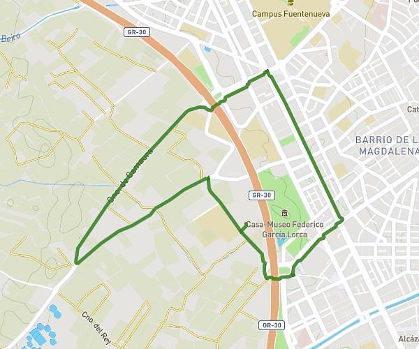
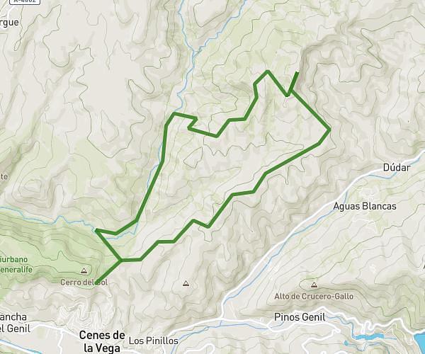
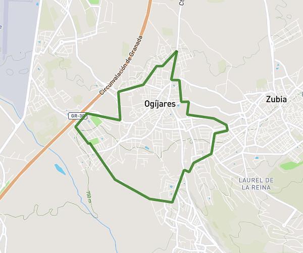
This running route covers 9.782mi starting from Cúllar Vega, Granada. The run is a loop trail and returns to the trailhead. This run is rated as hard, expect about 1h45m to complete it. The route has an elevation gain of 240ft and an elevation loss of 266ft.
Cúllar Gabias vuelta
Route details
5.59mph
Speed
1201 kcal
Calories burned
Loop trail
Route type
2087ft
Min altitude
2346ft
Max altitude
Route profile
240ft
Elevation gain
266ft
Elevation loss
2087ft
Min altitude
2346ft
Max altitude
How to get there
Trailhead: Calle Del Matadero 10, 18195 Cúllar Vega, Granada, Spain
GPS coordinates of the trailhead: 37.1533, -3.673872 / 37°9'11'' N, 3°40'25'' W