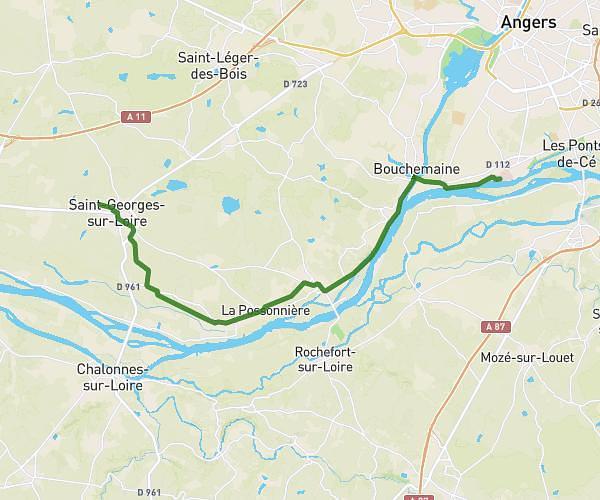
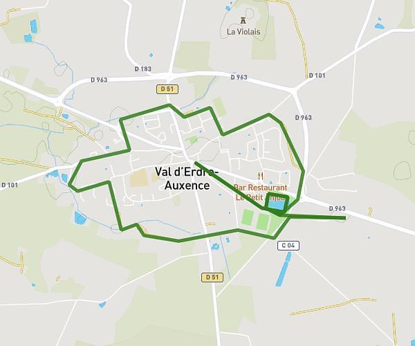
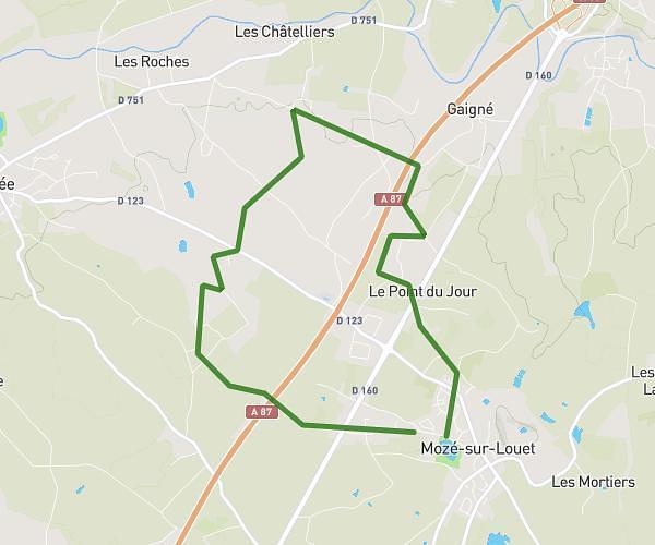
This running route covers 11.224mi starting from Angers, Maine-et-Loire. The run does not return to the trailhead and ends near 21a Route De Saumur, 49320 Brissac Loire Aubance, France. This run is rated as strenuous, expect about 1h30m to complete it. The route has an elevation gain of 52ft and an elevation loss of 92ft.
Scania st sat
Route details
7.48mph
Speed
1029 kcal
Calories burned
Point to point
Route type
66ft
Min altitude
157ft
Max altitude
Route profile
52ft
Elevation gain
92ft
Elevation loss
66ft
Min altitude
157ft
Max altitude
How to get there
Trailhead: 2 Boulevard De L'industrie, 49100 Angers, France
GPS coordinates of the trailhead: 47.491413, -0.520026 / 47°29'29'' N, 0°31'12'' W