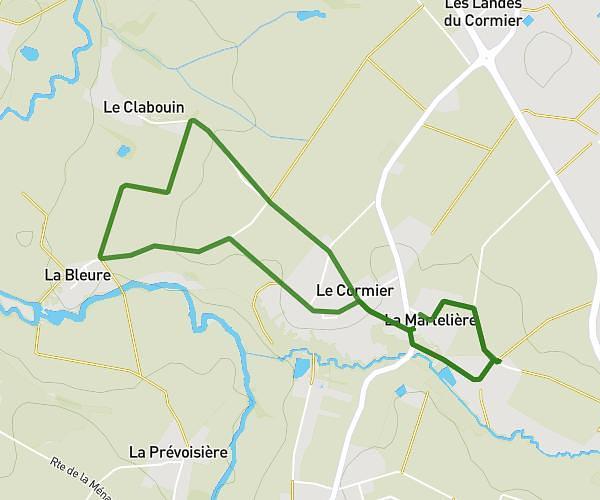
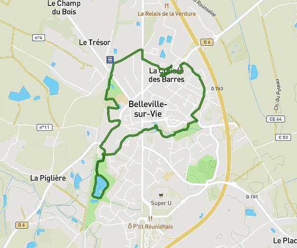
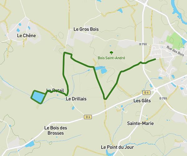
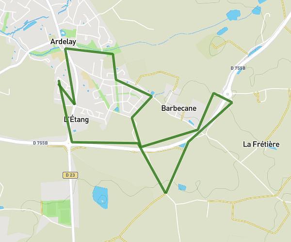
This running route covers 6.263mi starting from Essarts en Bocage, Vendée. The run is a loop trail and returns to the trailhead. This run is rated as moderate, expect about 1h3m to complete it. The route has an elevation gain of 282ft and an elevation loss of 282ft.
course a pied
Route details
5.93mph
Speed
724 kcal
Calories burned
Loop trail
Route type
272ft
Min altitude
331ft
Max altitude
Route profile
282ft
Elevation gain
282ft
Elevation loss
272ft
Min altitude
331ft
Max altitude
How to get there
Trailhead: 2 Impasse Des Boutons D'or, 85140 Essarts en Bocage, France
GPS coordinates of the trailhead: 46.76606, -1.23116 / 46°45'57'' N, 1°13'52'' W