MapPlanner
11.259mi
Distance
2h17m
Duration
12:10/mi
Pace
Strenuous
Level

Ansacq/ Hez/ Ansacq

Route details

4.93mph
Speed
1566 kcal
Calories burned
Loop trail
Route type
489ft
Min altitude
522ft
Max altitude

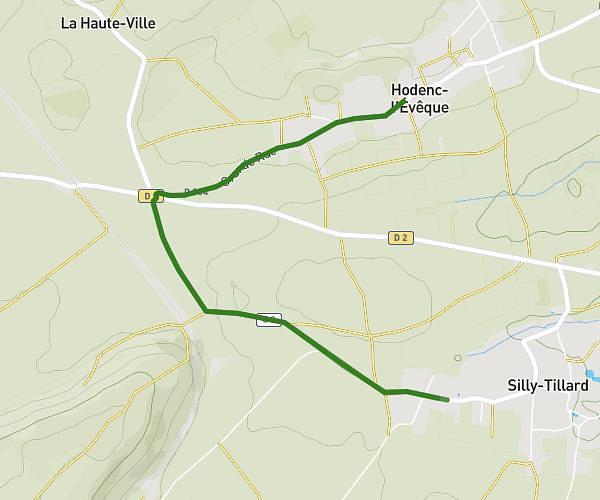
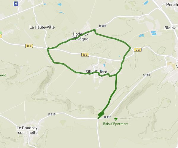
This running route covers 11.259mi starting from Agnetz, Oise. The run is a loop trail and returns to the trailhead. This run is rated as strenuous, expect about 2h17m to complete it. The route has an elevation gain of 33ft and an elevation loss of 39ft.

Route profile

33ft
Elevation gain
39ft
Elevation loss
489ft
Min altitude
522ft
Max altitude

How to get there

Trailhead: D 929, 60600 Agnetz, France

GPS coordinates of the trailhead: 49.36668, 2.38003 / 49°22'0'' N, 2°22'48'' E

Caution: May Cross Private Property

This route may pass through or near private property. Always respect posted signs, obtain permission where required, and follow local trespassing laws. MapPlanner does not guarantee public access along any route.

Safety Notice

Trail and road conditions may change without notice due to weather, construction, or other factors. Always verify current conditions before heading out. You are responsible for your own safety — follow local signage, obey traffic laws, and use your best judgment on the trail.