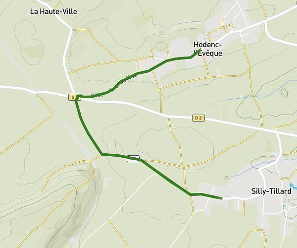
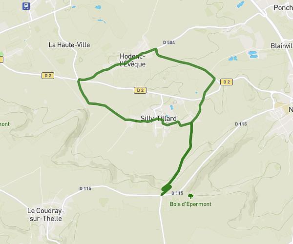
This running route covers 10.218mi starting from Creil, Oise. The run is a loop trail and returns to the trailhead. This run is rated as hard, expect about 2h to complete it. The route has an elevation gain of 13ft and an elevation loss of 13ft.
Creil St leu Creil trail urbain
Route details
5.11mph
Speed
1372 kcal
Calories burned
Loop trail
Route type
89ft
Min altitude
98ft
Max altitude
Route profile
13ft
Elevation gain
13ft
Elevation loss
89ft
Min altitude
98ft
Max altitude
How to get there
Trailhead: Rue Henri Pauquet, 60100 Creil
GPS coordinates of the trailhead: 49.26694, 2.47868 / 49°16'0'' N, 2°28'43'' E