MapPlanner
13.732mi
Distance
2h12m
Duration
6.21mph
Speed
+541ft
Elevation gain
-545ft
Elevation loss
Moderate
Level

22100m

Route details

1172 kcal
Calories burned
1.5%
Avg grade
Loop trail
Route type
735ft
Min altitude
915ft
Max altitude

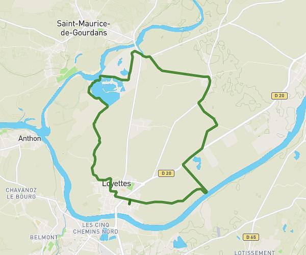
This cycling route covers 13.732mi starting from Crémieu, Isère. The ride is a loop trail and returns to the trailhead. This route is rated as moderate, plan for about 2h12m to complete it. The route has an elevation gain of 541ft and an elevation loss of 545ft.

Route profile

541ft
Elevation gain
545ft
Elevation loss
735ft
Min altitude
915ft
Max altitude

How to get there

Trailhead: Rue Du Lieutenant Théodose Morel, 38460 Crémieu

GPS coordinates of the trailhead: 45.72155, 5.24952 / 45°43'17'' N, 5°14'58'' E

Caution: May Cross Private Property

This route may pass through or near private property. Always respect posted signs, obtain permission where required, and follow local trespassing laws. MapPlanner does not guarantee public access along any route.

Safety Notice

Trail and road conditions may change without notice due to weather, construction, or other factors. Always verify current conditions before heading out. You are responsible for your own safety — follow local signage, obey traffic laws, and use your best judgment on the trail.