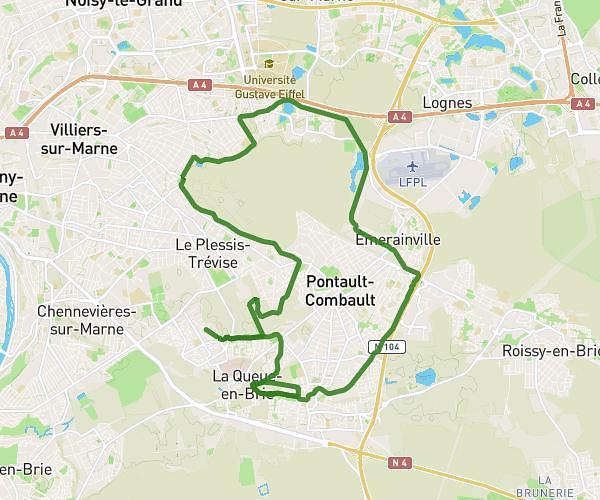
This running route covers 2.748mi starting from Saint-Maur-des-Fossés, Val-de-Marne. The run is a loop trail and returns to the trailhead. This run is rated as easy, expect about 33m9s to complete it. The route has an elevation gain of 92ft and an elevation loss of 92ft.
Saint-Maur - Nord Est - Très facile
Route details
4.97mph
Speed
379 kcal
Calories burned
Loop trail
Route type
108ft
Min altitude
177ft
Max altitude
Route profile
92ft
Elevation gain
92ft
Elevation loss
108ft
Min altitude
177ft
Max altitude
How to get there
Trailhead: Avenue Des Fusillés De Châteaubriant, 94100 Saint-Maur-des-Fossés
GPS coordinates of the trailhead: 48.80493, 2.50359 / 48°48'17'' N, 2°30'12'' E