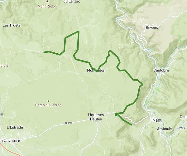
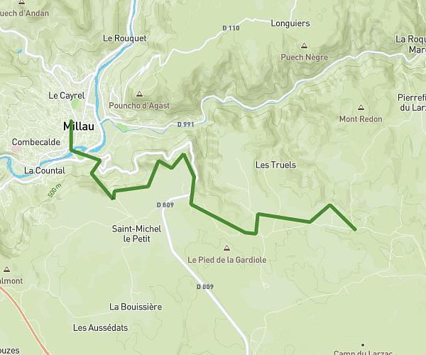
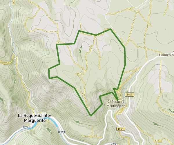
This hiking trail covers 5.577mi starting from Mostuéjouls, Aveyron. The hike does not return to the trailhead and ends near Route De Rodez À Lanuéjols, 12720 Veyreau. This hike is rated as hard, plan for about 3h12m to complete it. The route has an elevation gain of 2077ft and an elevation loss of 659ft.
IMBACH_Causses_Noir_ChampiAtom
Route details
1.74mph
Speed
1504 kcal
Calories burned
9.3%
Avg grade
Point to point
Route type
1306ft
Min altitude
2904ft
Max altitude
Steep climb
Route profile
2077ft
Elevation gain
659ft
Elevation loss
1306ft
Min altitude
2904ft
Max altitude
How to get there
Trailhead: D 907, 12720 Mostuéjouls
GPS coordinates of the trailhead: 44.19671, 3.21195 / 44°11'48'' N, 3°12'43'' E