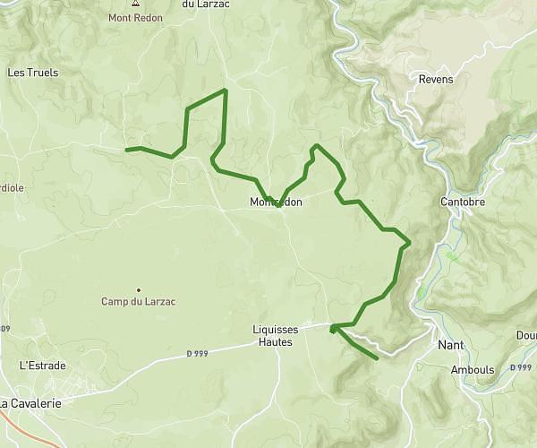
This hiking trail covers 4.931mi starting from Saint-André-de-Vézines, Aveyron. The hike is a loop trail and returns to the trailhead. This hike is rated as moderate, plan for about 2h38m to complete it. The route has an elevation gain of 1280ft and an elevation loss of 1280ft.
IMBACH_Causses_Noir_Roquesaltes
Route details
1.86mph
Speed
1202 kcal
Calories burned
9.8%
Avg grade
Loop trail
Route type
2044ft
Min altitude
2776ft
Max altitude
Steep climb
Route profile
1280ft
Elevation gain
1280ft
Elevation loss
2044ft
Min altitude
2776ft
Max altitude
How to get there
Trailhead: Chemin De Sabelenque, 12720 Saint-André-de-Vézines
GPS coordinates of the trailhead: 44.14191, 3.2351 / 44°8'30'' N, 3°14'6'' E