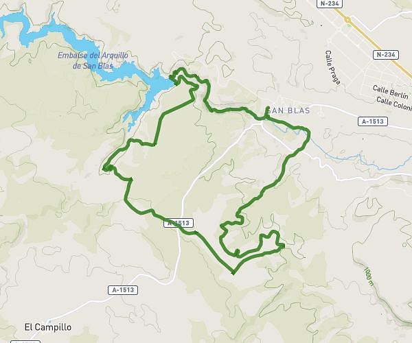
This running route covers 10.874mi starting from Teruel, Teruel. The run is a loop trail and returns to the trailhead. This run is rated as hard, expect about 1h56m to complete it. The route has an elevation gain of 377ft and an elevation loss of 522ft.
17,5k san Blas
Route details
5.59mph
Speed
1334 kcal
Calories burned
Loop trail
Route type
2867ft
Min altitude
3389ft
Max altitude
Route profile
377ft
Elevation gain
522ft
Elevation loss
2867ft
Min altitude
3389ft
Max altitude
How to get there
Trailhead: Calle Del Molino 8, 44195 Teruel, Teruel, Spain
GPS coordinates of the trailhead: 40.3589, -1.18193 / 40°21'32'' N, 1°10'54'' W