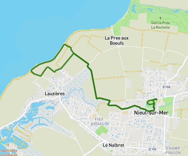
This hiking trail covers 3.774mi starting from Châtelaillon-Plage, Charente-Maritime. The hike is a loop trail and returns to the trailhead. This hike is rated as easy, plan for about 1h29m to complete it. The route has an elevation gain of 82ft and an elevation loss of 82ft.
port chatel - les boucholeurs-port chatel
Route details
2.54mph
Speed
627 kcal
Calories burned
0.8%
Avg grade
Loop trail
Route type
0ft
Min altitude
62ft
Max altitude
Route profile
82ft
Elevation gain
82ft
Elevation loss
0ft
Min altitude
62ft
Max altitude
How to get there
Trailhead: 10 Cours Du Maréchal Juin, 17340 Châtelaillon-Plage, France
GPS coordinates of the trailhead: 46.06205, -1.0927 / 46°3'43'' N, 1°5'33'' W