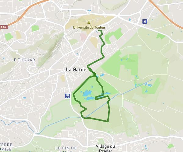
This running route covers 7.528mi starting from La Garde, Var. The run is a loop trail and returns to the trailhead. This run is rated as hard, expect about 1h13m to complete it. The route has an elevation gain of 177ft and an elevation loss of 177ft.
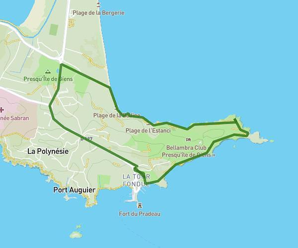
Corniche du mourillon
Route details
6.19mph
Speed
835 kcal
Calories burned
Loop trail
Route type
20ft
Min altitude
197ft
Max altitude
Route profile
177ft
Elevation gain
177ft
Elevation loss
20ft
Min altitude
197ft
Max altitude
How to get there
Trailhead: 1739 Avenue Du Commandant Houot, 83130 La Garde, France
GPS coordinates of the trailhead: 43.109, 5.98147 / 43°6'32'' N, 5°58'53'' E