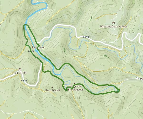
This hiking trail covers 11.226mi starting from Baladou, Lot. The hike is a loop trail and returns to the trailhead. This hike is rated as strenuous, plan for about 4h18m to complete it. The route has an elevation gain of 1617ft and an elevation loss of 1617ft.
Stso
Route details
2.6mph
Speed
1893 kcal
Calories burned
5.5%
Avg grade
Loop trail
Route type
325ft
Min altitude
906ft
Max altitude
Route profile
1617ft
Elevation gain
1617ft
Elevation loss
325ft
Min altitude
906ft
Max altitude
How to get there
Trailhead: 86 Chemin Des Combes Friondes, 46600 Baladou, France
GPS coordinates of the trailhead: 44.914019, 1.55855 / 44°54'50'' N, 1°33'30'' E