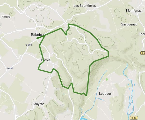
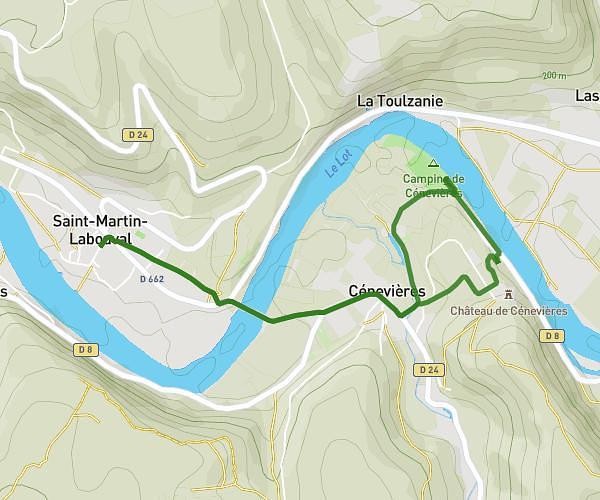
This running route covers 6.961mi starting from Baladou, Lot. The run is a loop trail and returns to the trailhead. This run is rated as moderate, expect about 1h50m to complete it. The route has an elevation gain of 1158ft and an elevation loss of 1158ft.
Trail court Ratatrail
Route details
3.8mph
Speed
1258 kcal
Calories burned
Loop trail
Route type
440ft
Min altitude
1020ft
Max altitude
Route profile
1158ft
Elevation gain
1158ft
Elevation loss
440ft
Min altitude
1020ft
Max altitude
How to get there
Trailhead: 80 Chemin Des Chênes, 46600 Baladou, France
GPS coordinates of the trailhead: 44.92187, 1.55634 / 44°55'18'' N, 1°33'22'' E