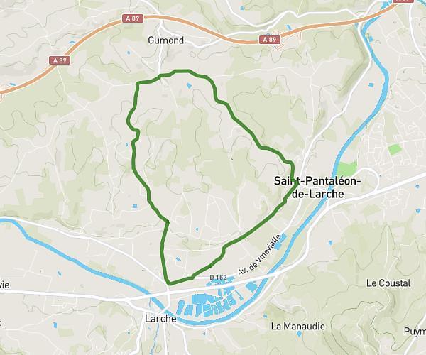
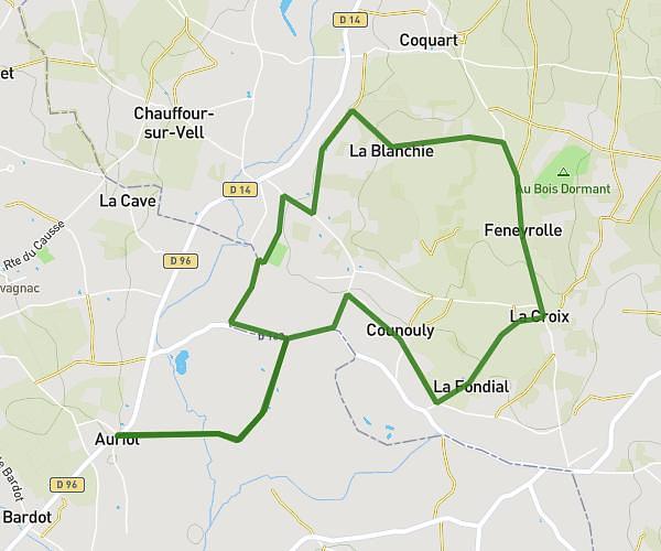
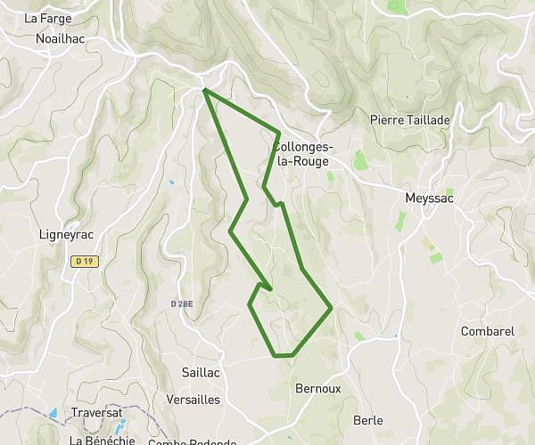
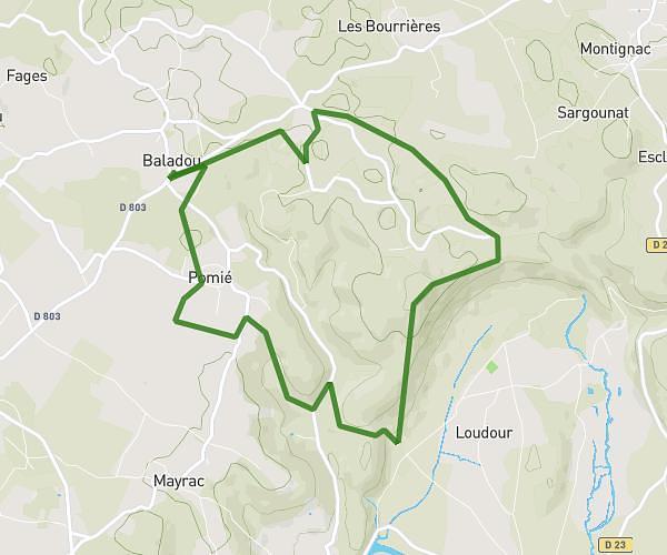
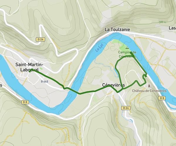
This running route covers 11.354mi starting from Baladou, Lot. The run is a loop trail and returns to the trailhead. This run is rated as strenuous, expect about 3h to complete it. The route has an elevation gain of 125ft and an elevation loss of 180ft.
Trail long Ratatrail
Route details
3.78mph
Speed
2058 kcal
Calories burned
Loop trail
Route type
728ft
Min altitude
791ft
Max altitude
Route profile
125ft
Elevation gain
180ft
Elevation loss
728ft
Min altitude
791ft
Max altitude
How to get there
Trailhead: 80 Chemin Des Chênes, 46600 Baladou, France
GPS coordinates of the trailhead: 44.92184, 1.55644 / 44°55'18'' N, 1°33'23'' E