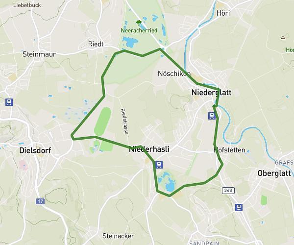
This running route covers 13.723mi starting from Niederrohrdorf, Aargau. The run is a loop trail and returns to the trailhead. This run is rated as strenuous, expect about 2h27m to complete it. The route has an elevation gain of 1598ft and an elevation loss of 1611ft.
Halbmarathok
Route details
5.6mph
Speed
1681 kcal
Calories burned
Loop trail
Route type
1138ft
Min altitude
1837ft
Max altitude
Route profile
1598ft
Elevation gain
1611ft
Elevation loss
1138ft
Min altitude
1837ft
Max altitude
How to get there
Trailhead: Zentrumsstrasse 4, 5443 Niederrohrdorf, Switzerland
GPS coordinates of the trailhead: 47.42335, 8.304932 / 47°25'24'' N, 8°18'17'' E