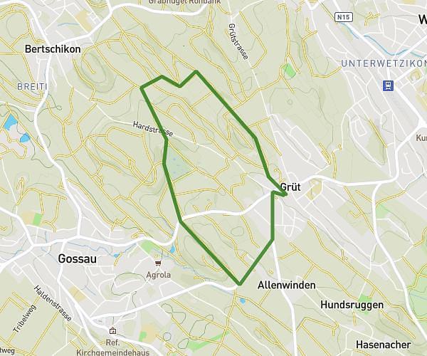
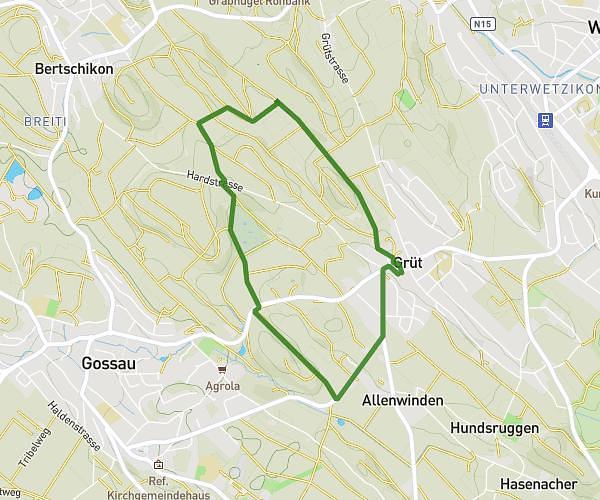
This running route covers 6.779mi starting from Oberglatt, Zürich. The run is a loop trail and returns to the trailhead. This run is rated as moderate, expect about 1h21m to complete it. The route has an elevation gain of 358ft and an elevation loss of 354ft.
10k
Route details
4.97mph
Speed
935 kcal
Calories burned
Loop trail
Route type
1329ft
Min altitude
1437ft
Max altitude
Route profile
358ft
Elevation gain
354ft
Elevation loss
1329ft
Min altitude
1437ft
Max altitude
How to get there
Trailhead: Leewinkel 17, 8154 Oberglatt, Switzerland
GPS coordinates of the trailhead: 47.479444, 8.505259 / 47°28'45'' N, 8°30'18'' E