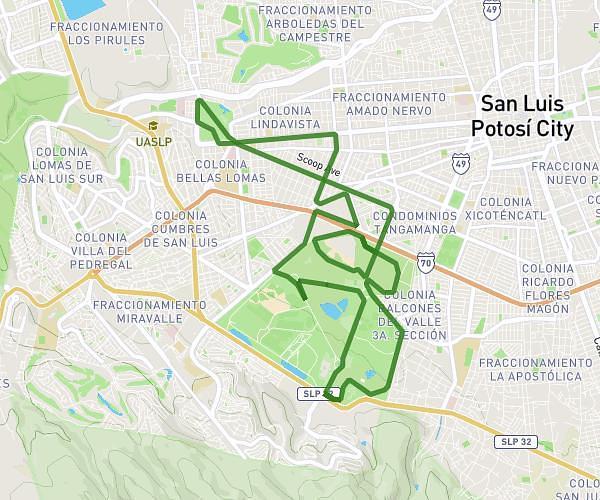
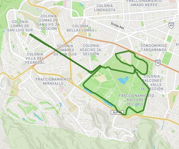
This running route covers 4.279mi starting from San Luis Potosí, San Luis Potosí. The run is a loop trail and returns to the trailhead. This run is rated as moderate, expect about 45m54s to complete it. The route has an elevation gain of 269ft and an elevation loss of 269ft.
BAKCYARD ULTRA SIMULADOR
Route details
5.59mph
Speed
525 kcal
Calories burned
Loop trail
Route type
6381ft
Min altitude
6463ft
Max altitude
Route profile
269ft
Elevation gain
269ft
Elevation loss
6381ft
Min altitude
6463ft
Max altitude
How to get there
Trailhead: Calle Germanía 165, 78183 San Luis Potosí, San Luis Potosí, Mexico
GPS coordinates of the trailhead: 22.16064, -101.042083 / 22°9'38'' N, 101°2'31'' W