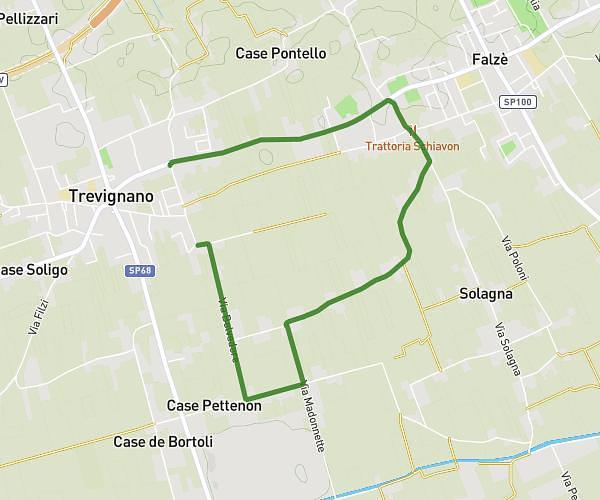
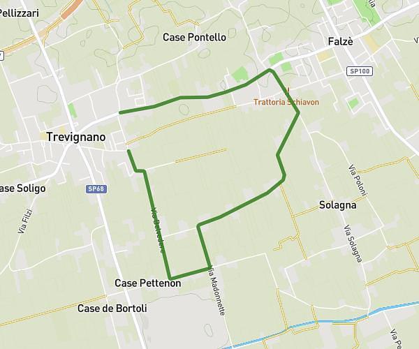
This running route covers 4.712mi starting from Spresiano, Treviso. The run does not return to the trailhead and ends near Via Della Pace, 31052 Maserada sul Piave. This run is rated as easy, expect about 46m to complete it. The route has an elevation gain of 0ft and an elevation loss of 75ft.
Spresiano-gelateria Maserada
Route details
6.15mph
Speed
526 kcal
Calories burned
Point to point
Route type
105ft
Min altitude
180ft
Max altitude
Route profile
0ft
Elevation gain
75ft
Elevation loss
105ft
Min altitude
180ft
Max altitude
How to get there
Trailhead: Strada Dei Murazzi, 31027 Spresiano
GPS coordinates of the trailhead: 45.78836, 12.26454 / 45°47'18'' N, 12°15'52'' E