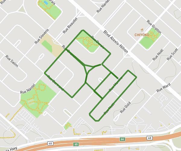
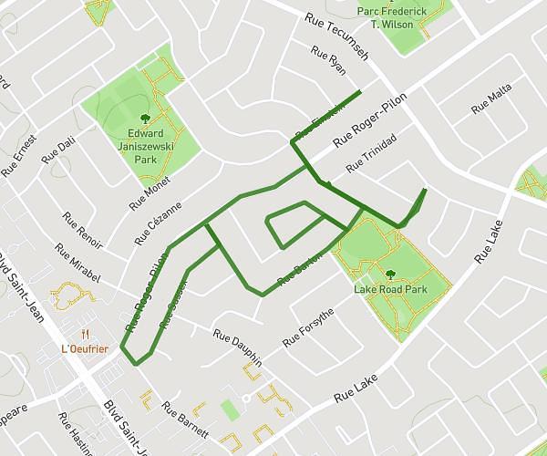
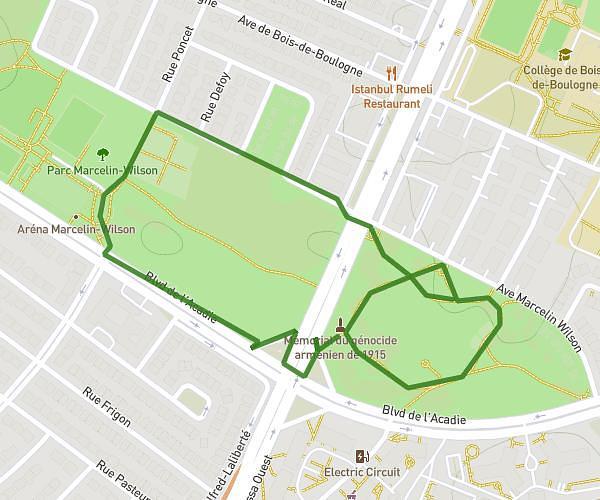
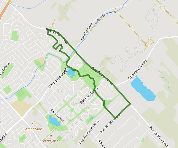
This walking route covers 6.381mi starting from Montréal, Quebec. The walk does not return to the trailhead and ends near Avenue Lacombe, H3T 1M4 Montréal. This walk is rated as hard, plan for about 2h25m to complete it. The route has an elevation gain of 781ft and an elevation loss of 728ft.
Sept. 30 Rosh Relay
Route details
22:43/mi
Pace
592 kcal
Calories burned
Point to point
Route type
289ft
Min altitude
591ft
Max altitude
Route profile
781ft
Elevation gain
728ft
Elevation loss
289ft
Min altitude
591ft
Max altitude
How to get there
Trailhead: Chemin De La Côte-Sainte-Catherine, H3T 1E3 Montréal
GPS coordinates of the trailhead: 45.4961, -73.62975 / 45°29'45'' N, 73°37'47'' W