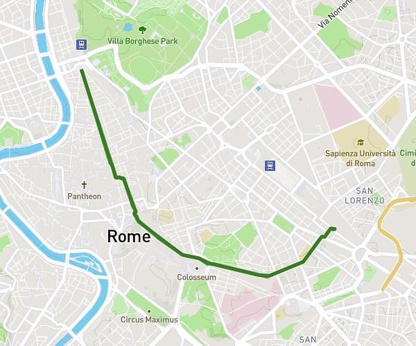
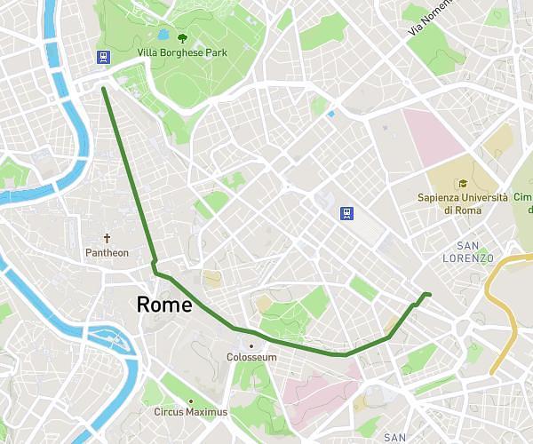
This running route covers 6.366mi starting from Roma, Rome. The run does not return to the trailhead and ends near Piazza Bucharest, 00187 Roma Rome, Italy. This run is rated as moderate, expect about 1h8m to complete it. The route has an elevation gain of 856ft and an elevation loss of 761ft.
mar
Route details
5.59mph
Speed
781 kcal
Calories burned
Point to point
Route type
23ft
Min altitude
197ft
Max altitude
Route profile
856ft
Elevation gain
761ft
Elevation loss
23ft
Min altitude
197ft
Max altitude
How to get there
Trailhead: Largo Gaetana Agnesi 1, 00184 Roma Rome, Italy
GPS coordinates of the trailhead: 41.89122, 12.49136 / 41°53'28'' N, 12°29'28'' E