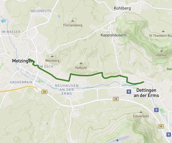
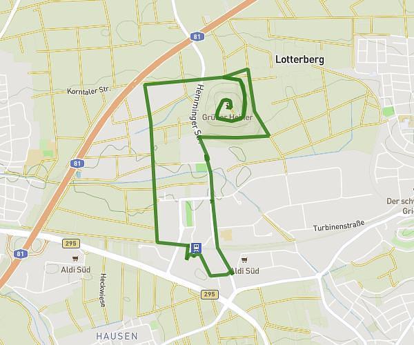
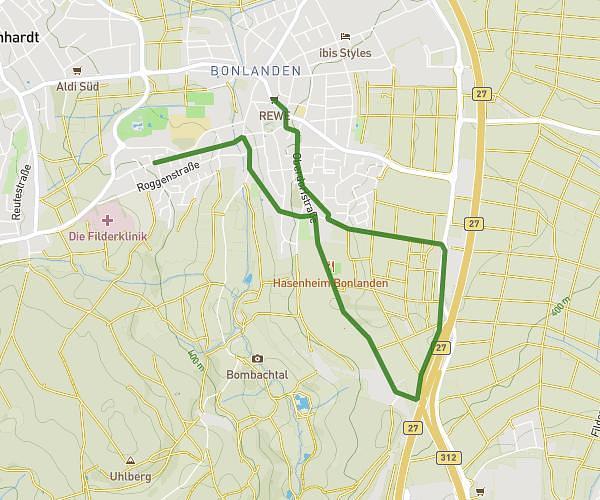
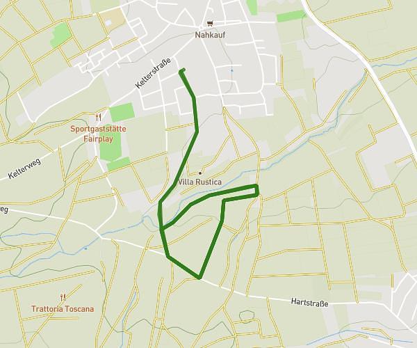
This running route covers 8.754mi starting from Walddorfhäslach, Baden-Württemberg. The run is a loop trail and returns to the trailhead. This run is rated as hard, expect about 1h45m to complete it. The route has an elevation gain of 1273ft and an elevation loss of 1273ft.
14 km
Route details
4.97mph
Speed
1208 kcal
Calories burned
Loop trail
Route type
1158ft
Min altitude
1647ft
Max altitude
Route profile
1273ft
Elevation gain
1273ft
Elevation loss
1158ft
Min altitude
1647ft
Max altitude
How to get there
Trailhead: Waldenbucher Weg 31, 72141 Walddorfhäslach, Germany
GPS coordinates of the trailhead: 48.590834, 9.181323 / 48°35'27'' N, 9°10'52'' E