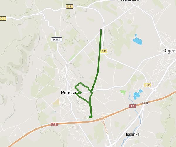
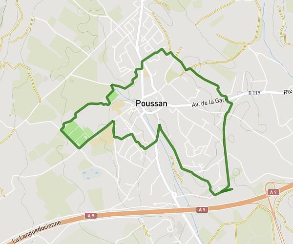
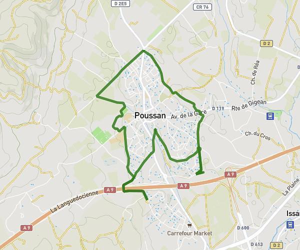
This running route covers 3.377mi starting from Frontignan, Hérault. The run is a loop trail and returns to the trailhead. This run is rated as easy, expect about 1h32m to complete it. The route has an elevation gain of 95ft and an elevation loss of 95ft.
2ème parcourt
Route details
2.2mph
Speed
1052 kcal
Calories burned
Loop trail
Route type
-3ft
Min altitude
56ft
Max altitude
Route profile
95ft
Elevation gain
95ft
Elevation loss
-3ft
Min altitude
56ft
Max altitude
How to get there
Trailhead: Impasse Des Merles, 34110 Frontignan
GPS coordinates of the trailhead: 43.45247, 3.74851 / 43°27'8'' N, 3°44'54'' E