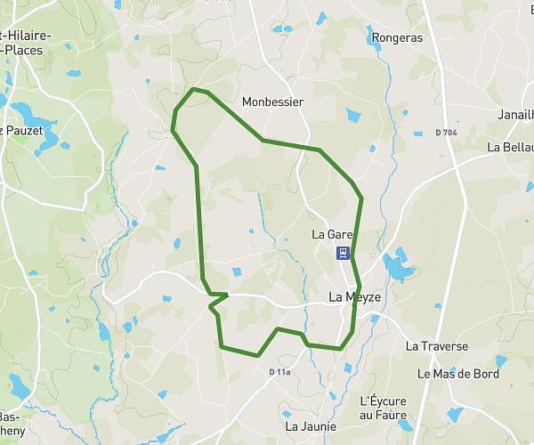
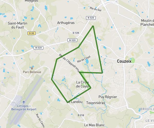
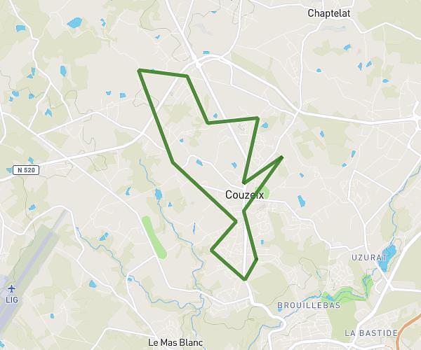
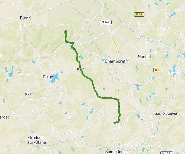
This running route covers 8.137mi starting from Burgnac, Haute-Vienne. The run does not return to the trailhead and ends near 20 Route Des Cars, 87230 Les Cars, France. This run is rated as hard, expect about 1h18m to complete it. The route has an elevation gain of 1266ft and an elevation loss of 554ft.
Burgnac les cars
Route details
6.21mph
Speed
898 kcal
Calories burned
Point to point
Route type
827ft
Min altitude
1768ft
Max altitude
Route profile
1266ft
Elevation gain
554ft
Elevation loss
827ft
Min altitude
1768ft
Max altitude
How to get there
Trailhead: 17 Impasse De La Briqueterie, 87800 Burgnac, France
GPS coordinates of the trailhead: 45.73382, 1.15501 / 45°44'1'' N, 1°9'18'' E