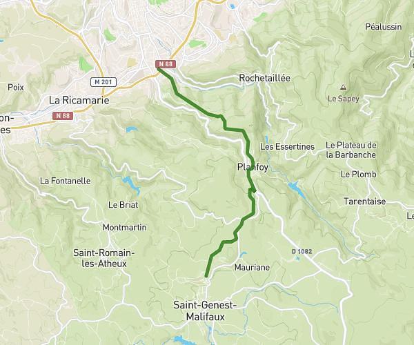
This running route covers 7.113mi starting from Saint-Didier-en-Velay, Haute-Loire. The run does not return to the trailhead and ends near Faubourg De La Péchoire, 43140 Saint-Didier-en-Velay. This run is rated as moderate, expect about 1h8m to complete it. The route has an elevation gain of 938ft and an elevation loss of 1033ft.
PAVES2023 - 12km course
Route details
6.28mph
Speed
777 kcal
Calories burned
Point to point
Route type
2621ft
Min altitude
3018ft
Max altitude
Route profile
938ft
Elevation gain
1033ft
Elevation loss
2621ft
Min altitude
3018ft
Max altitude
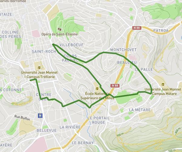
How to get there
Trailhead: Place De La Halle, 43140 Saint-Didier-en-Velay
GPS coordinates of the trailhead: 45.30304, 4.27635 / 45°18'10'' N, 4°16'34'' E