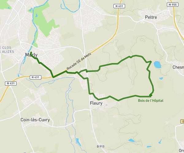
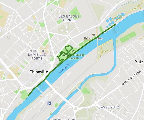
This running route covers 3.26mi starting from Maizières-lès-Metz, Moselle. The run does not return to the trailhead and ends near 41 Voie Romaine, 57280 Maizières-lès-Metz, France. This run is rated as easy, expect about 52m27s to complete it. The route has an elevation gain of 177ft and an elevation loss of 164ft.
Boucle culture pain écart
Route details
3.73mph
Speed
600 kcal
Calories burned
Point to point
Route type
518ft
Min altitude
561ft
Max altitude
Route profile
177ft
Elevation gain
164ft
Elevation loss
518ft
Min altitude
561ft
Max altitude
How to get there
Trailhead: 23 Chemin De Silvange, 57280 Maizières-lès-Metz, France
GPS coordinates of the trailhead: 49.217403, 6.157882 / 49°13'2'' N, 6°9'28'' E