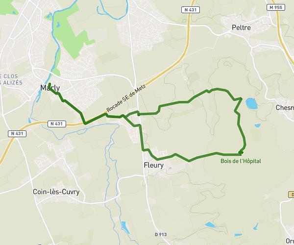
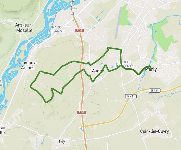
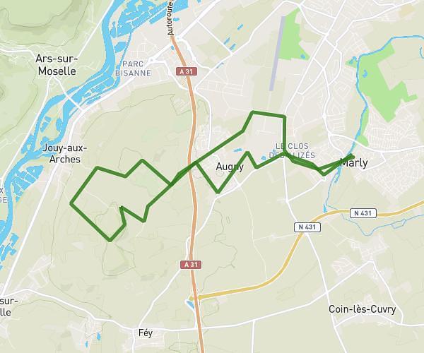
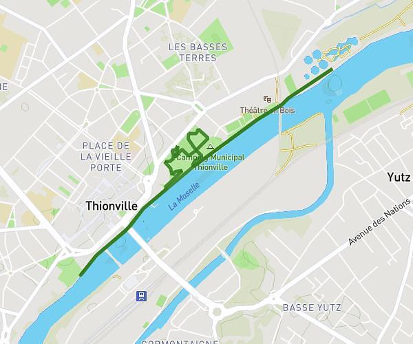
This running route covers 5.215mi starting from Marange-Silvange, Moselle. The run is a loop trail and returns to the trailhead. This run is rated as moderate, expect about 55m57s to complete it. The route has an elevation gain of 269ft and an elevation loss of 269ft.
Boucle culture pain maizieres
Route details
5.59mph
Speed
640 kcal
Calories burned
Loop trail
Route type
515ft
Min altitude
561ft
Max altitude
Route profile
269ft
Elevation gain
269ft
Elevation loss
515ft
Min altitude
561ft
Max altitude
How to get there
Trailhead: Rue Saint-Francois, 57535 Marange-Silvange, France
GPS coordinates of the trailhead: 49.233187, 6.144523 / 49°13'59'' N, 6°8'40'' E