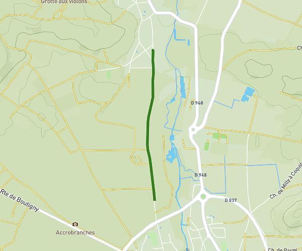
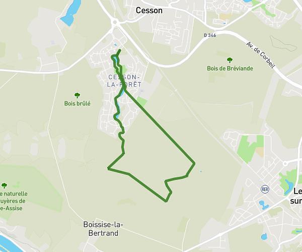
This hiking trail covers 6.991mi starting from Brétigny-sur-Orge, Essonne. The hike is a loop trail and returns to the trailhead. This hike is rated as moderate, plan for about 2h31m to complete it. The route has an elevation gain of 443ft and an elevation loss of 446ft.
cosi
Route details
2.78mph
Speed
1078 kcal
Calories burned
2.4%
Avg grade
Loop trail
Route type
125ft
Min altitude
253ft
Max altitude
Route profile
443ft
Elevation gain
446ft
Elevation loss
125ft
Min altitude
253ft
Max altitude
How to get there
Trailhead: 30 Boulevard Pierre Brossolette, 91220 Brétigny-sur-Orge, France
GPS coordinates of the trailhead: 48.606781, 2.300894 / 48°36'24'' N, 2°18'3'' E