MapPlanner
8.68mi
Distance
1h9m
Duration
8:03/mi
Pace
Moderate
Level

Boucle Rocassière

Route details

7.46mph
Speed
798 kcal
Calories burned
Loop trail
Route type
551ft
Min altitude
899ft
Max altitude

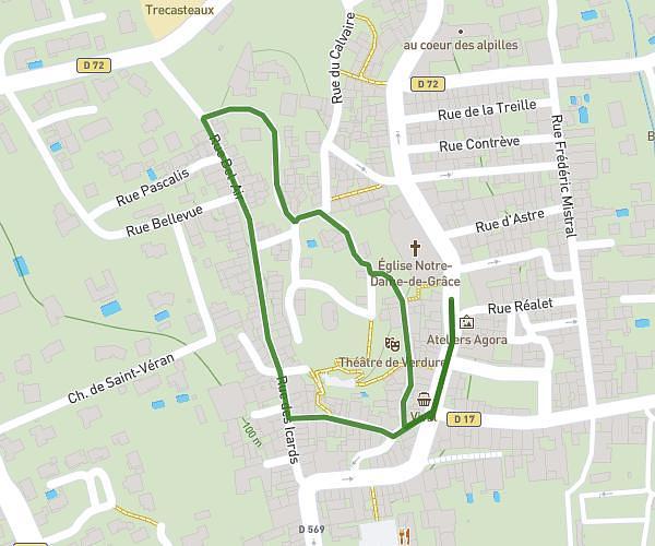
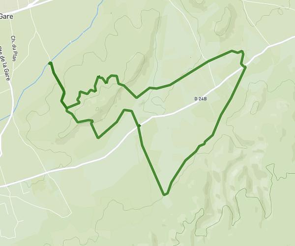
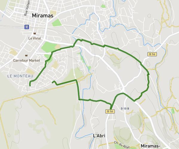
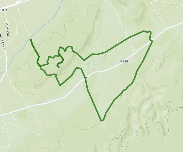
This running route covers 8.68mi starting from La Roque-d'Anthéron, Bouches-du-Rhône. The run is a loop trail and returns to the trailhead. This run is rated as moderate, expect about 1h9m to complete it. The route has an elevation gain of 348ft and an elevation loss of 325ft.

Description of the route by the creator

MIXED, between plain, village and hill

(Description automatically translated)

Route profile

348ft
Elevation gain
325ft
Elevation loss
551ft
Min altitude
899ft
Max altitude

How to get there

Trailhead: 3 Avenue De L'europe Libre, 13640 La Roque-d'Anthéron, France

GPS coordinates of the trailhead: 43.71492, 5.30752 / 43°42'53'' N, 5°18'27'' E

Caution: May Cross Private Property

This route may pass through or near private property. Always respect posted signs, obtain permission where required, and follow local trespassing laws. MapPlanner does not guarantee public access along any route.

Safety Notice

Trail and road conditions may change without notice due to weather, construction, or other factors. Always verify current conditions before heading out. You are responsible for your own safety — follow local signage, obey traffic laws, and use your best judgment on the trail.