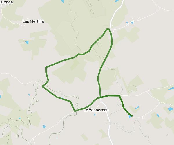
This walking route covers 3.666mi starting from Santranges, Cher. The walk does not return to the trailhead and ends near 90 Rue De Sancerre, 45630 Beaulieu-sur-Loire, France. This walk is rated as moderate, plan for about 1h5m to complete it. The route has an elevation gain of 95ft and an elevation loss of 220ft.
Julien Nathalie
Route details
17:45/mi
Pace
266 kcal
Calories burned
Point to point
Route type
515ft
Min altitude
653ft
Max altitude
Route profile
95ft
Elevation gain
220ft
Elevation loss
515ft
Min altitude
653ft
Max altitude
How to get there
Trailhead: 3 Les Maisons Neuves, 18240 Santranges, France
GPS coordinates of the trailhead: 47.520642, 2.771366 / 47°31'14'' N, 2°46'16'' E