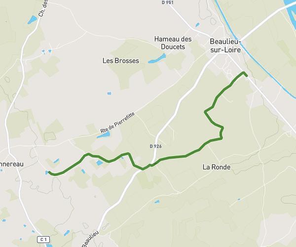
This walking route covers 5.29mi starting from Beaulieu-sur-Loire, Cher. The walk is a loop trail and returns to the trailhead. This walk is rated as hard, plan for about 1h30m to complete it. The route has an elevation gain of 410ft and an elevation loss of 407ft.
Trappes -gauvins-colinet-trappes
Route details
17:00/mi
Pace
368 kcal
Calories burned
Loop trail
Route type
617ft
Min altitude
853ft
Max altitude
Route profile
410ft
Elevation gain
407ft
Elevation loss
617ft
Min altitude
853ft
Max altitude
How to get there
Trailhead: 3 Les Maisons Neuves, 18240 Beaulieu-sur-Loire, France
GPS coordinates of the trailhead: 47.520746, 2.771399 / 47°31'14'' N, 2°46'17'' E