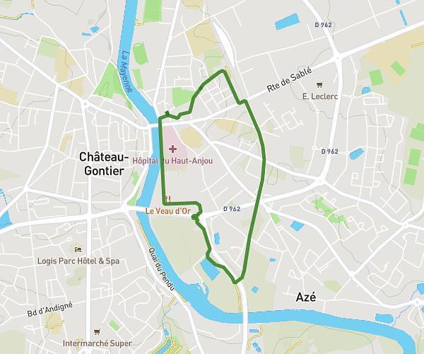
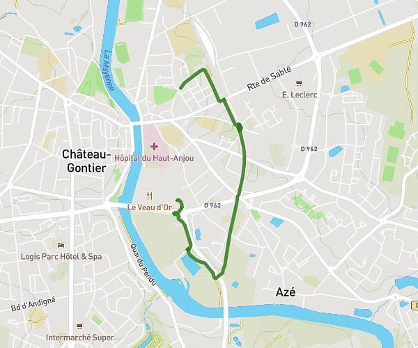
This running route covers 2.994mi starting from Laval, Mayenne. The run is a loop trail and returns to the trailhead. This run is rated as easy, expect about 32m7s to complete it. The route has an elevation gain of 259ft and an elevation loss of 253ft.
Test 1
Route details
5.59mph
Speed
367 kcal
Calories burned
Loop trail
Route type
338ft
Min altitude
427ft
Max altitude
Route profile
259ft
Elevation gain
253ft
Elevation loss
338ft
Min altitude
427ft
Max altitude
How to get there
Trailhead: D 112, 53000 Laval, France
GPS coordinates of the trailhead: 48.042673, -0.77862 / 48°2'33'' N, 0°46'43'' W