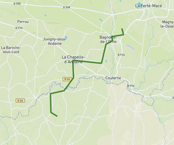
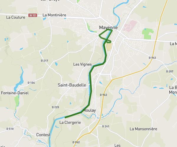
This running route covers 5.069mi starting from Mayenne, Mayenne. The run is a loop trail and returns to the trailhead. This run is rated as easy, expect about 47m to complete it. The route has an elevation gain of 515ft and an elevation loss of 515ft.
Mayenne. Taff. Chemin de halage
Route details
6.47mph
Speed
537 kcal
Calories burned
Loop trail
Route type
272ft
Min altitude
358ft
Max altitude
Route profile
515ft
Elevation gain
515ft
Elevation loss
272ft
Min altitude
358ft
Max altitude
How to get there
Trailhead: 419 Rue François Arago, 53100 Mayenne, France
GPS coordinates of the trailhead: 48.283699, -0.627466 / 48°17'1'' N, 0°37'38'' W