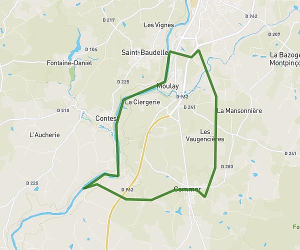
This running route covers 7.082mi starting from Mayenne, Mayenne. The run is a loop trail and returns to the trailhead. This run is rated as easy, expect about 1h5m to complete it. The route has an elevation gain of 728ft and an elevation loss of 725ft.
Mayenne. we halage écluse
Route details
6.54mph
Speed
743 kcal
Calories burned
Loop trail
Route type
276ft
Min altitude
390ft
Max altitude
Route profile
728ft
Elevation gain
725ft
Elevation loss
276ft
Min altitude
390ft
Max altitude
How to get there
Trailhead: 14 Rue Aristide Briand, 53100 Mayenne, France
GPS coordinates of the trailhead: 48.30367, -0.618449 / 48°18'13'' N, 0°37'6'' W