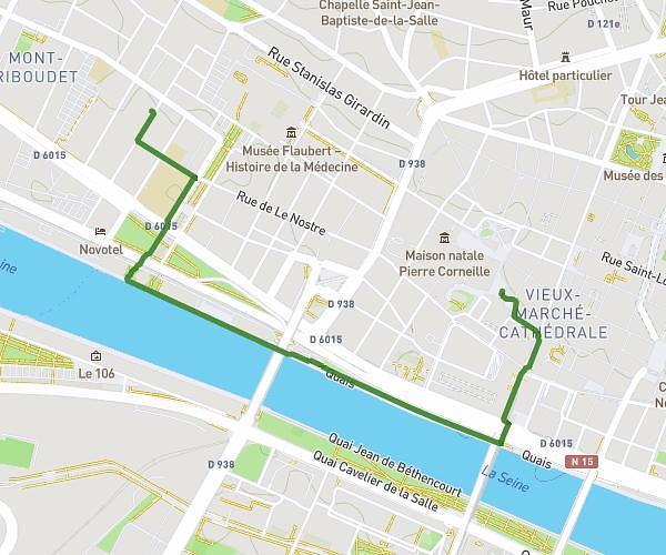
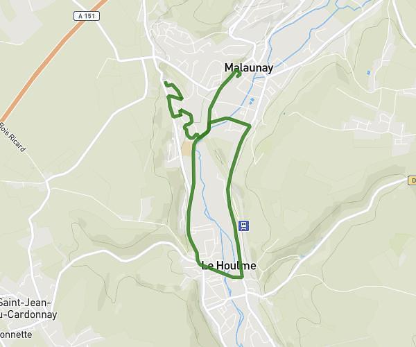
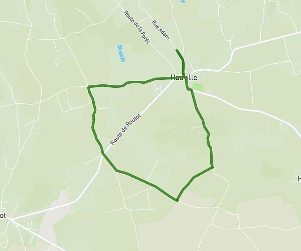
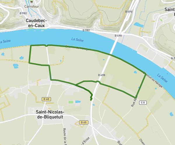
This hiking trail covers 17.558mi starting from Saint-Étienne-du-Rouvray, Seine-Maritime. The hike is a loop trail and returns to the trailhead. This hike is rated as moderate, plan for about 6h4m to complete it. The route has an elevation gain of 617ft and an elevation loss of 610ft.
Hugo ruben
Route details
2.9mph
Speed
2576 kcal
Calories burned
1.3%
Avg grade
Loop trail
Route type
26ft
Min altitude
236ft
Max altitude
Route profile
617ft
Elevation gain
610ft
Elevation loss
26ft
Min altitude
236ft
Max altitude
How to get there
Trailhead: 24 Avenue Du Val L'abbé, 76800 Saint-Étienne-du-Rouvray, France
GPS coordinates of the trailhead: 49.38051, 1.10067 / 49°22'49'' N, 1°6'2'' E