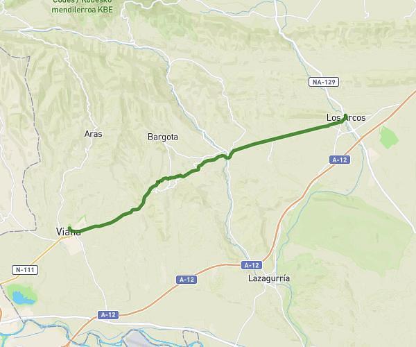
This hiking trail covers 6.433mi starting from Lardero, La Rioja. The hike does not return to the trailhead and ends near Valhondo, 26140 Lardero, La Rioja, Spain. This hike is rated as hard, plan for about 3h27m to complete it. The route has an elevation gain of 1270ft and an elevation loss of 1273ft.
Pa mañana
Route details
1.86mph
Speed
1540 kcal
Calories burned
7.5%
Avg grade
Point to point
Route type
1319ft
Min altitude
2090ft
Max altitude
Route profile
1270ft
Elevation gain
1273ft
Elevation loss
1319ft
Min altitude
2090ft
Max altitude
How to get there
Trailhead: Valhondo, 26140 Lardero, La Rioja, Spain
GPS coordinates of the trailhead: 42.422798, -2.486688 / 42°25'22'' N, 2°29'12'' W