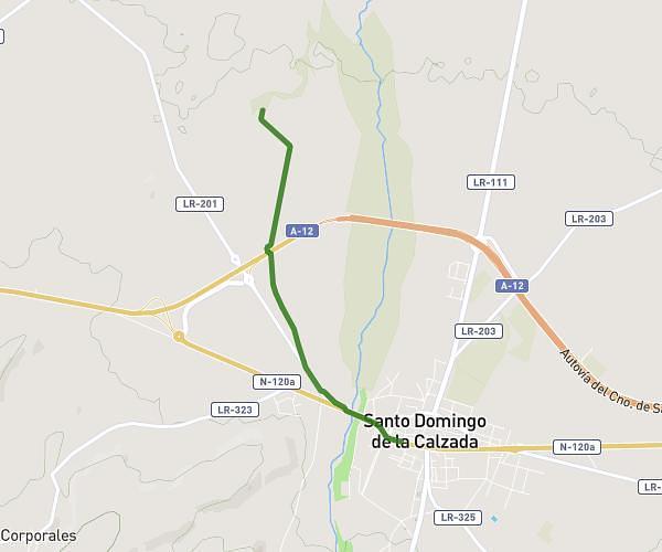
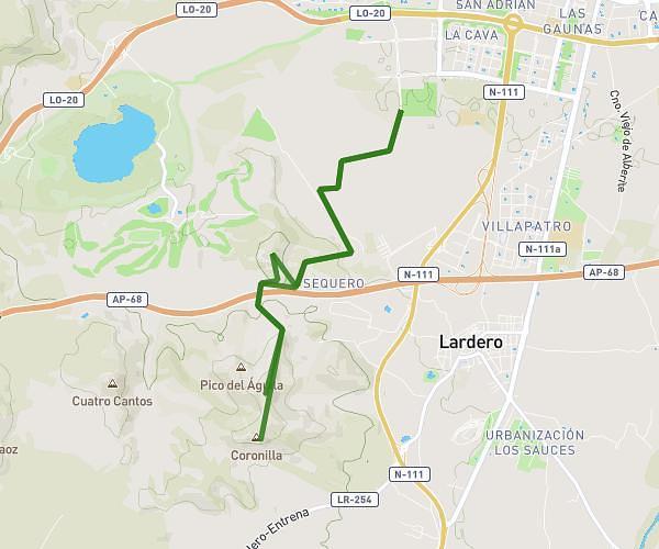
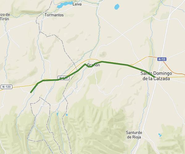
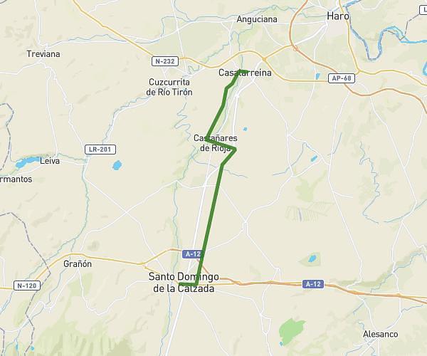
This hiking trail covers 24.575mi starting from San Asensio, La Rioja. The hike does not return to the trailhead and ends near Paseo Del Espolón, 26250 Santo Domingo de la Calzada, La Rioja, Spain. This hike is rated as strenuous, plan for about 58m to complete it. The route has an elevation gain of 1450ft and an elevation loss of 1056ft.
El Cojonudo sin Patas al Fin de 39,5 km
Route details
25.42mph
Speed
414 kcal
Calories burned
1.9%
Avg grade
Point to point
Route type
1444ft
Min altitude
2106ft
Max altitude
Route profile
1450ft
Elevation gain
1056ft
Elevation loss
1444ft
Min altitude
2106ft
Max altitude
How to get there
Trailhead: Av La Rioja 27, 26340 San Asensio, La Rioja, Spain
GPS coordinates of the trailhead: 42.498017, -2.750647 / 42°29'52'' N, 2°45'2'' W