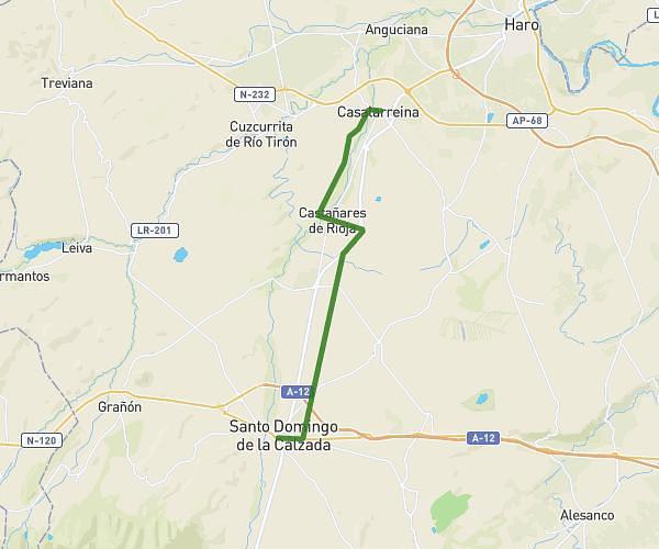
This hiking trail covers 9.941mi starting from Casalarreina, La Rioja. The hike does not return to the trailhead and ends near Paseo Del Espolón, 26250 Santo Domingo de la Calzada, La Rioja, Spain. This hike is rated as moderate, plan for about 40m to complete it. The route has an elevation gain of 554ft and an elevation loss of 89ft.
CSLR - Sto. Domingo x Cmno. de Baños
Route details
14.91mph
Speed
285 kcal
Calories burned
1.2%
Avg grade
Point to point
Route type
1637ft
Min altitude
2126ft
Max altitude
Route profile
554ft
Elevation gain
89ft
Elevation loss
1637ft
Min altitude
2126ft
Max altitude
How to get there
Trailhead: Calle Baja 5, 26230 Casalarreina, La Rioja, Spain
GPS coordinates of the trailhead: 42.548317, -2.909869 / 42°32'53'' N, 2°54'35'' W