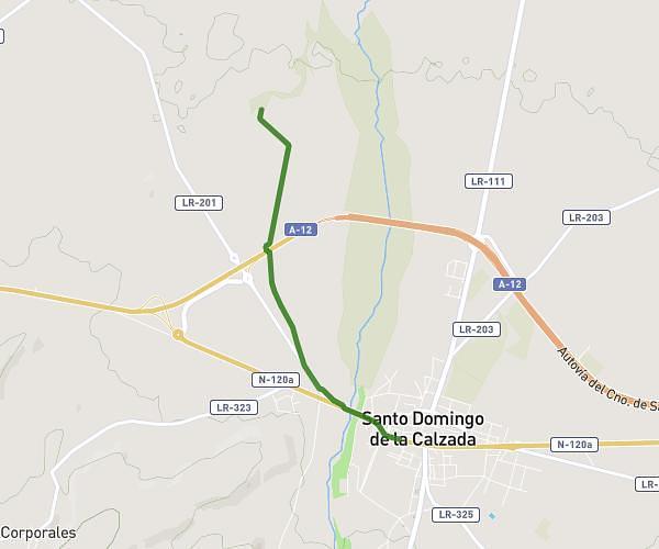
This hiking trail covers 8.675mi starting from Santo Domingo de la Calzada, La Rioja. The hike does not return to the trailhead and ends near Calle Bajera 4, 09259 Viloria de Rioja, Burgos, Spain. This hike is rated as moderate, plan for about 25m23s to complete it. The route has an elevation gain of 955ft and an elevation loss of 453ft.
Sto. Domingo - Viloria de Rioja
Route details
20.51mph
Speed
184 kcal
Calories burned
3.1%
Avg grade
Point to point
Route type
2064ft
Min altitude
2618ft
Max altitude
Route profile
955ft
Elevation gain
453ft
Elevation loss
2064ft
Min altitude
2618ft
Max altitude
How to get there
Trailhead: Paseo Del Espolón, 26250 Santo Domingo de la Calzada, La Rioja, Spain
GPS coordinates of the trailhead: 42.439823, -2.956029 / 42°26'23'' N, 2°57'21'' W