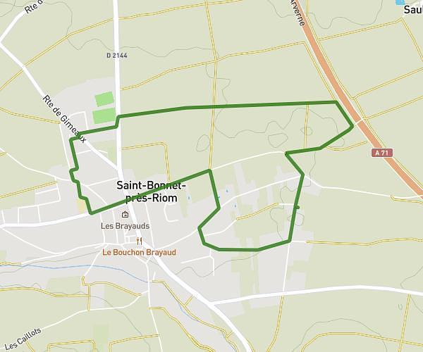
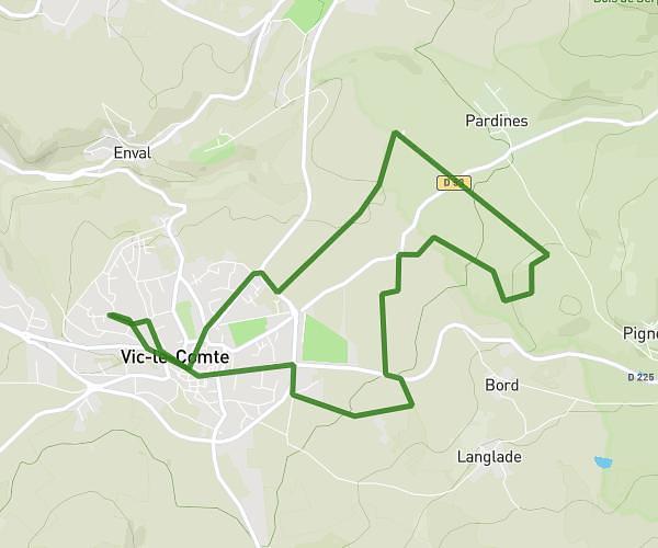
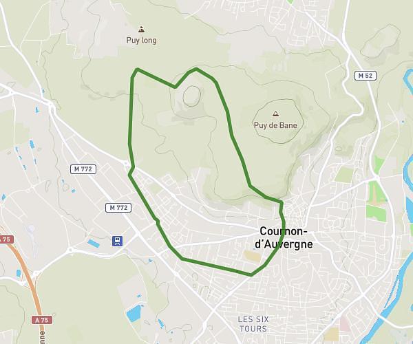
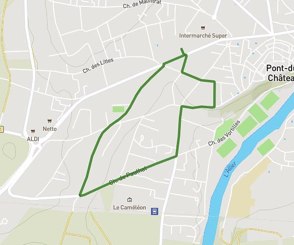
This running route covers 3.283mi starting from Chamalières, Puy-de-Dôme. The run is a loop trail and returns to the trailhead. This run is rated as easy, expect about 35m to complete it. The route has an elevation gain of 410ft and an elevation loss of 404ft.
entrainment reprise
Route details
5.63mph
Speed
400 kcal
Calories burned
Loop trail
Route type
1280ft
Min altitude
1473ft
Max altitude
Route profile
410ft
Elevation gain
404ft
Elevation loss
1280ft
Min altitude
1473ft
Max altitude
How to get there
Trailhead: 4 Rue Paul Lapie, 63400 Chamalières, France
GPS coordinates of the trailhead: 45.76947, 3.06781 / 45°46'10'' N, 3°4'4'' E