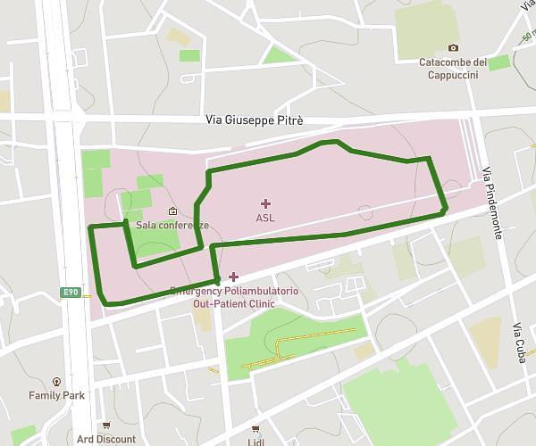
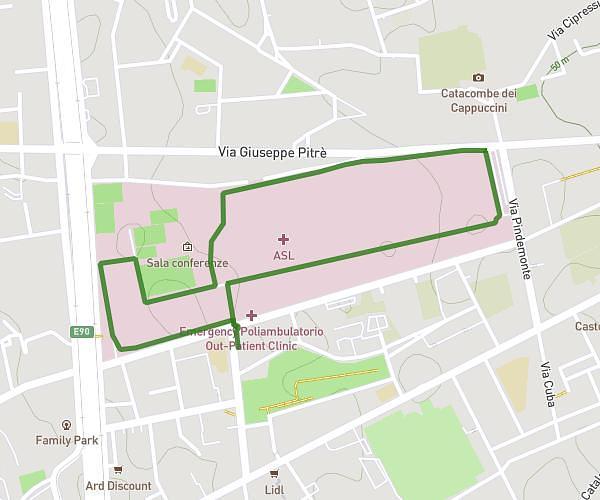
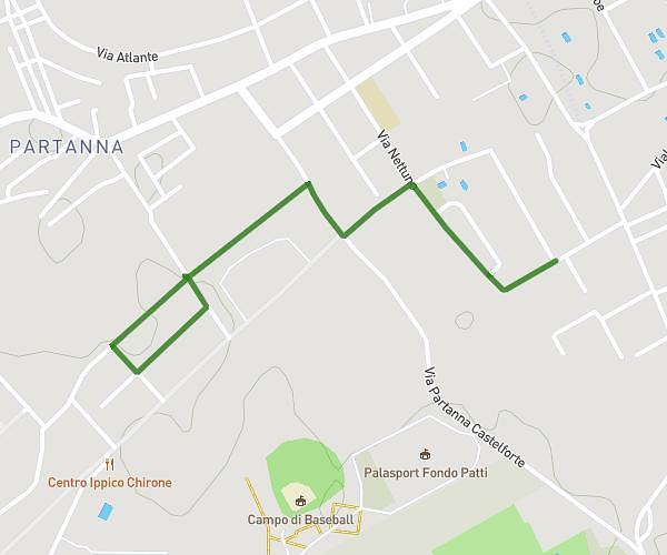
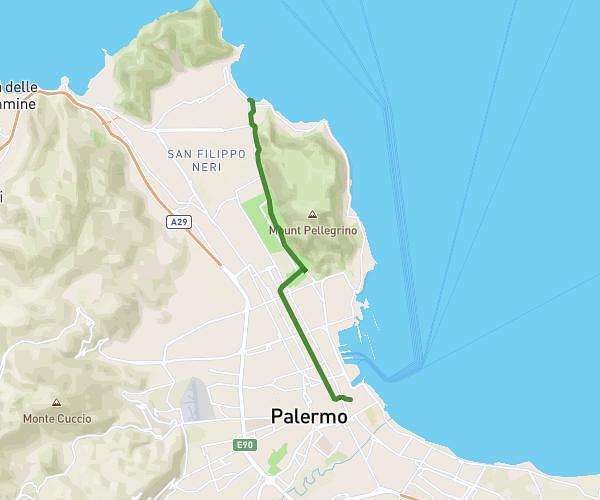
This running route covers 9.492mi starting from Palermo, Palermo. The run is a loop trail and returns to the trailhead. This run is rated as hard, expect about 1h41m to complete it. The route has an elevation gain of 121ft and an elevation loss of 98ft.
Favorita
Route details
5.59mph
Speed
1164 kcal
Calories burned
Loop trail
Route type
131ft
Min altitude
233ft
Max altitude
Route profile
121ft
Elevation gain
98ft
Elevation loss
131ft
Min altitude
233ft
Max altitude
How to get there
Trailhead: Via B. Angelico 51, 90145 Palermo Palermo, Italy
GPS coordinates of the trailhead: 38.12836, 13.32269 / 38°7'42'' N, 13°19'21'' E