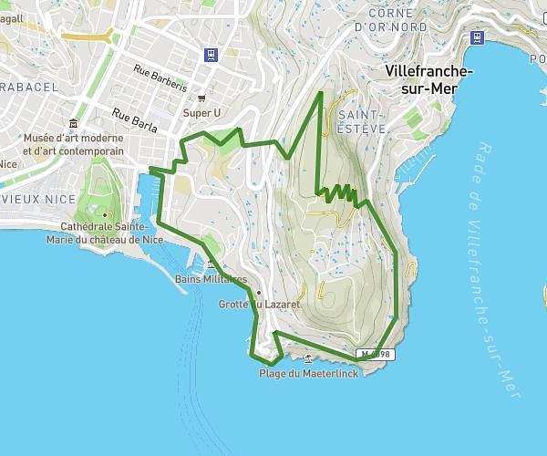
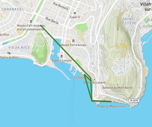
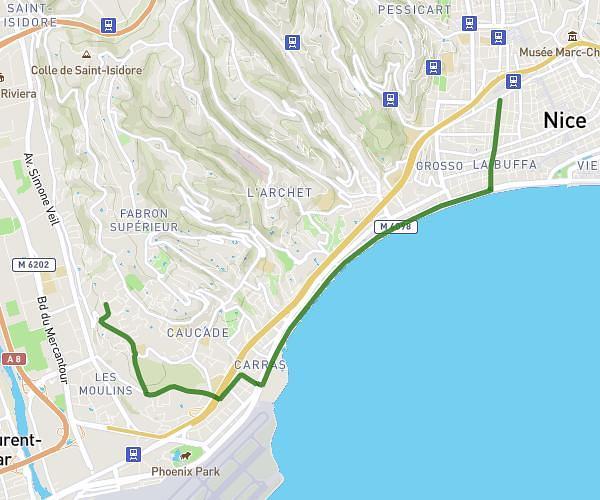
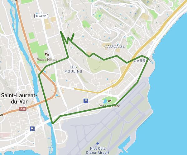
This running route covers 5.044mi starting from Antibes, Alpes-Maritimes. The run does not return to the trailhead and ends near 167 Boulevard J.F. Kennedy, 06160 Antibes, France. This run is rated as moderate, expect about 44m12s to complete it. The route has an elevation gain of 295ft and an elevation loss of 397ft.
Jogging 👟 maison
Route details
6.85mph
Speed
505 kcal
Calories burned
Point to point
Route type
3ft
Min altitude
167ft
Max altitude
Route profile
295ft
Elevation gain
397ft
Elevation loss
3ft
Min altitude
167ft
Max altitude
How to get there
Trailhead: 126 Chemin Des Âmes Du Purgatoire, 06600 Antibes, France
GPS coordinates of the trailhead: 43.59182, 7.10136 / 43°35'30'' N, 7°6'4'' E