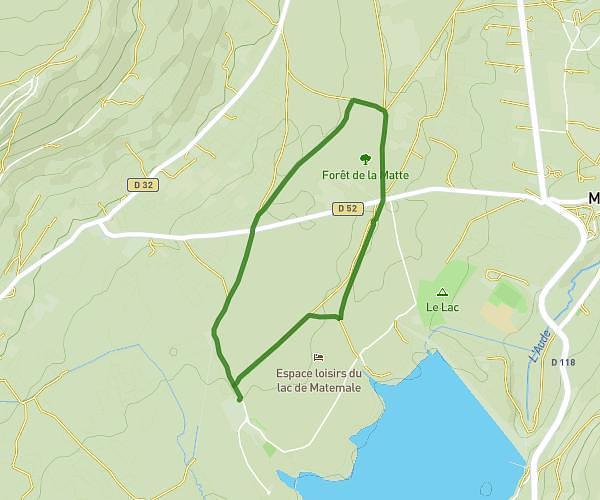
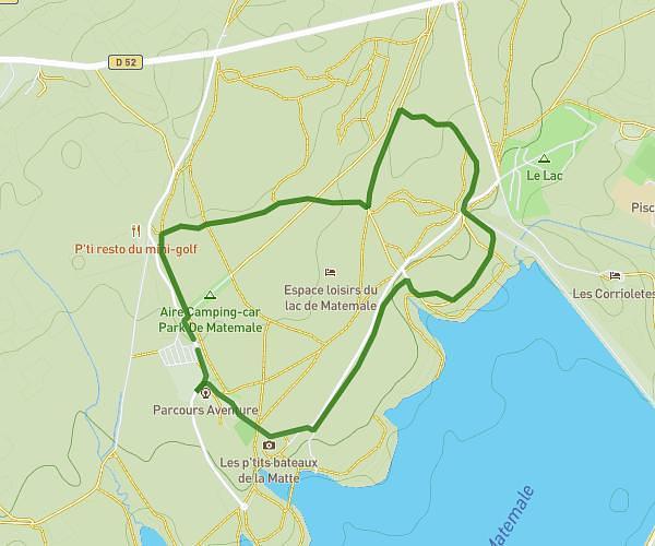
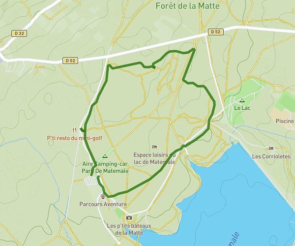
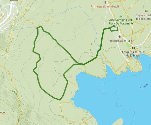
This running route covers 2.556mi starting from Les Angles, Pyrénées-Orientales. The run is a loop trail and returns to the trailhead. This run is rated as easy, expect about 30m50s to complete it. The route has an elevation gain of 30ft and an elevation loss of 30ft.
Parcours 4
Route details
4.97mph
Speed
353 kcal
Calories burned
Loop trail
Route type
5079ft
Min altitude
5102ft
Max altitude
Route profile
30ft
Elevation gain
30ft
Elevation loss
5079ft
Min altitude
5102ft
Max altitude
How to get there
Trailhead: 118 Bore De La Matte, 66210 Les Angles, France
GPS coordinates of the trailhead: 42.57778, 2.09507 / 42°34'40'' N, 2°5'42'' E