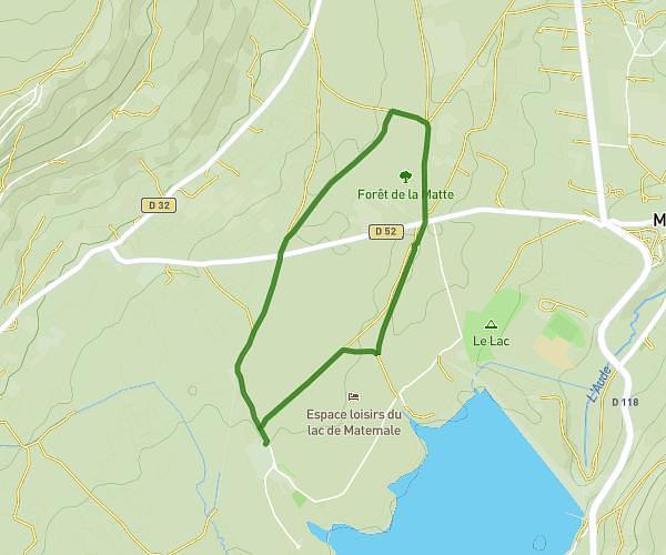
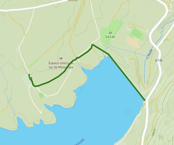
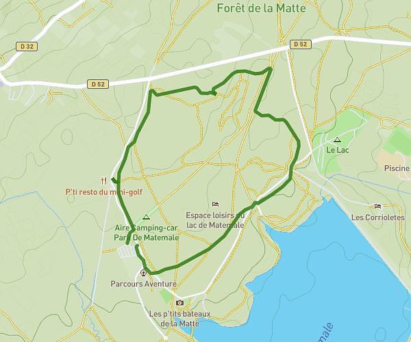
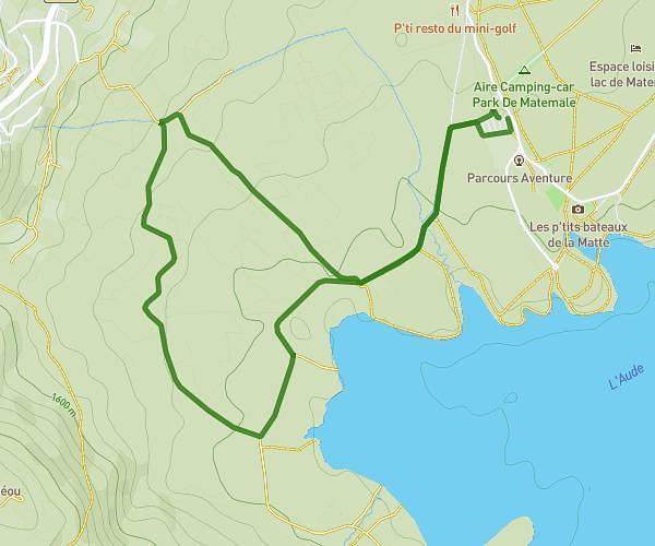
This running route covers 2.037mi starting from Les Angles, Pyrénées-Orientales. The run is a loop trail and returns to the trailhead. This run is rated as easy, expect about 24m35s to complete it. The route has an elevation gain of 66ft and an elevation loss of 26ft.
Parcours 5
Route details
4.97mph
Speed
281 kcal
Calories burned
Loop trail
Route type
5075ft
Min altitude
5141ft
Max altitude
Route profile
66ft
Elevation gain
26ft
Elevation loss
5075ft
Min altitude
5141ft
Max altitude
How to get there
Trailhead: 118 Bore De La Matte, 66210 Les Angles, France
GPS coordinates of the trailhead: 42.57759, 2.09525 / 42°34'39'' N, 2°5'42'' E